DLA Keynote speaker 2021
The conference committee is very pleased to announce the following keynote speakers:
Kotchakorn Voraakhom
Founder and CEO at Landprocess and Porous City Network

Kotchakorn Voraakhom is a landscape architect from Thailand who works on building productive green public spaces that tackle climate change in urban dense areas and vulnerable communities. She created the first critical green infrastructure for Bangkok, the Chulalongkorn Centenary Park. Her complete design works also include, Thammasat Urban Farm Rooftop, a 36-acre urban farm rooftop featuring the biggest urban farming green roof in Asia, and the first bridge park across the river in any world capital, Chao Phraya Sky Park.
Voraakhom was awarded from UN climate change for Winners of the 2020 UN Global Climate Action Awards, Women for Results. She was featured in the 2019 “TIME 100 Next” list, one of 15 leading women fighting against climate change from TIME Magazine, BBC 100 Women 2020, and the “Green 30 for 2020” by Bloomberg. She is Chairwoman of the Climate Change Working Group of the International Federation of Landscape Architects (IFLA World).
Voraakhom received her Master’s in landscape architecture from Harvard University’s Graduate School of Design and teach there as a design critic in Spring 2020. Currently, she is also a TED Fellow and an Echoing Green Fellow.
Kotchakorn Voraakhom will give the Opening Keynote of DLA 2021 on May 27 titled “Addressing Resilient Landscape Architecture and Global Change”
Please see the following as introduction: TED in 2018
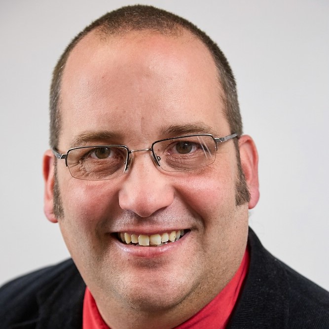
Mohan S Rao
Mohan S Rao is the principal designer of the leading multi-disciplinary consultancy practice, Integrated Design (INDÉ), based in Bangalore, India. His core expertise is in the field of environmental design, regional planning and landscape architecture with a strong focus on sustainable practices in city & regional planning, disaster management, heritage conservation and master planning. He is involved in academic programs, research and design initiatives in the Indian sub-continent, China, France, Italy, Morocco and Libya and Colombia.
Mr. Rao has led international and national research initiatives engaged with varied issues such as biodiversity and ecosystem services, climate change and passive design; low impact development and city planning. He is passionate about interpreting traditional knowledge systems to help address contemporary challenges in environment and development, specifically in the global south. His work has been published in several leading international and national journals and is the recipient of several awards instituted by UNESCO, IFLA, HUDCO, a.o.
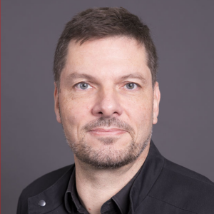
Prof. Dr. Thomas H. Kolbe

Professor Kolbe studied computer science at the University Dortmund between 1988 and 1993. After completing his studies he worked as a research assistant at the Institute for Computer Science III at the University of Bonn and the Institute for Environmental Sciences at the University of Vechta until 1999. He was awarded his doctoral degree in 1999. From 1999 he was a research assistant, and later a senior research assistant, at the Institute for Cartography and Geoinformation at the University of Bonn. Between 2006 and 2012 he held the Chair of the Department of Geoinformation Technology at TU Berlin. Since 2012 he is head of the Chair of Geoinformatics at TUM. Since 2019 Prof. Kolbe is director of the Hans-Eisenmann-Forum (HEF), the TUM Center for Agricultural Sciences at the TUM School of Life Sciences Weihenstephan (WZW).
Prof. Kolbe has been vice president (2008-2012) and then president (2012-2016) of the German Society for Photogrammetry, Remote Sensing and Geoinformation (DGPF). Since 2013 he is chairman of the Runden Tisches GIS e.V. In the academic year 2016/17 he was appointed as visiting professor at the Faculty of Architecture and the Built Environment at TU Delft. Prof. Kolbe is a founding member of the Leonhard Obermeyer Centers (LOC) – TUM Center of Digital Methods for the Built Environment.
https://www.lrg.tum.de/en/gis/
Prof. h. c. Dr. Chirine Etezadzadeh

Prof. h. c. Dr. Chirine Etezadzadeh is founder and president of the SmartCity.institute in Germany. For more than ten years, she has helped shaping the Smart City development with numerous projects, publications and events as well as providing consulting services. From 2014 – 2016 Prof. Etezadzadeh held lectures on “Product Development for Smart Cities” at the Cologne University of Technology. In 2017 she was granted an honorary professorship by the Beijing Information Science & Technology University (BISTU). In 2017 Prof. Etezadzadeh organized the first Smart City Convention, “Blisscity”, together with the Messe Frankfurt. With her edited volume “Smart City – Made in Germany”, which she designed with more than 140 contributors, she presented a German standard work on the topic of Smart City. Her video series “Have a Tea with Dr. E. – How is Germany doing?” can be found at www.smartcitynews.global.
Publication: https://www.dpbolvw.net/click-9239293-12898971?url=https%3A%2F%2Fwww.springer.com%2Fde%2Fbook%2F9783658272319
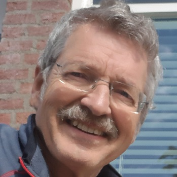
Dr. Josef Kauer
COO Robotic Eyes GmbH / Chairman “BIM DAY GERMANY”

Prof. Julie Bargmann
University Virginia, Charlottesville
Julia Watson
GSD Harvard University, Boston
Prof. Dr. Tobias Luthe
ETH Zürich
DLA | Digital Landscape Architecture


 Moderation